Fields for sports
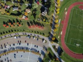
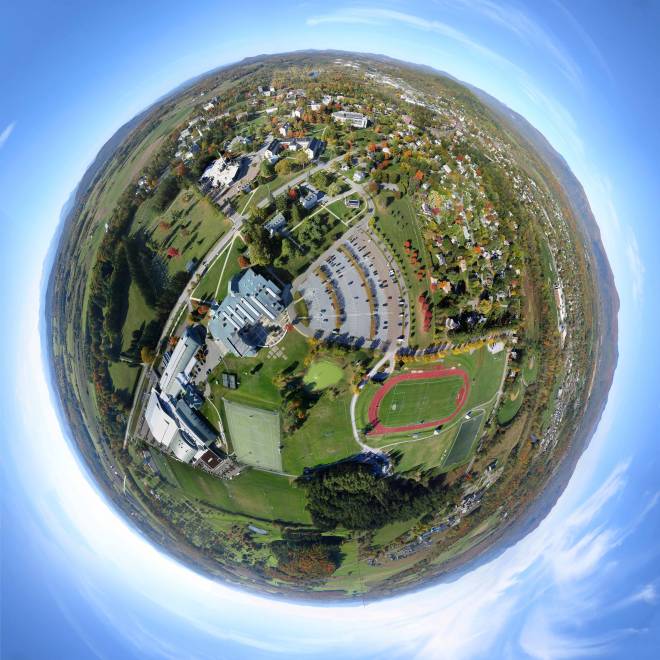
I thought the playing fields, the track, and the wedge shaped parking lot would make some nice photos, but I didn't really have much of an objective. There was not enough wind to fly the EOS M (I need a bigger kite) so the PowerShot S100 on a Saturn V Rig was lofted by the Fled. The funnest part of this post was identifying the most colorful trees using a kml file of Tim Parson's campus tree map.
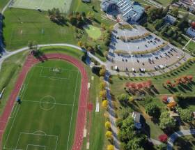 |
| A photo at the lowest tilt angle.The Mahaney Center for the Arts (top), a slice of parking lot, and a showy red track. |
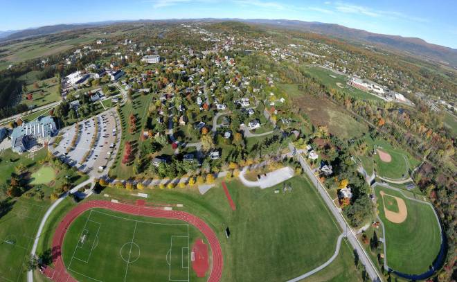 |
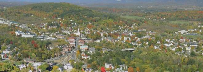
| About eight photos are stitched together in this panorama looking north toward the village of Middlebury. |
Flight notes:
Camera:
- Model: PowerShot S100
- ISO: 125
- Shutter speed: 1/800 second (Tv)
- Focus: manual on infinity
- Focal length: 24mm (eq.)
- White balance: Sunny
- GPS: on
CHDK:
- Remote enabled: one push, quick
- The S100 has a shutter priority mode so CHDK is not needed for that
SkyShield:
- Version: 2.4 (3-switch DIP)
- Sketch: version 2.08sfm (beta)
- Mode: Mode 0 (for 24 mm lens, 25 photos/cycle)
- Power: 6 eneloop AAA
- Customization: The nadir tilt angle was changed from 20 to 11 so the camera was pointed straight down.
Flight:
- Kite: FLED
- Wind: From S, 7 to 11 mph
- Duration: 1 hour 5 minutes
- Photos taken: 1307
Panorama stitching:
- Software: Microsoft ICE
- Stitching: The 16 photos in the stitch do not include the upper rank of mostly sky photos.
- Post processing: Some stitching errors in the little planet panorama were hidden in Photoshop.

